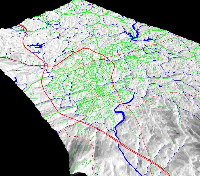
Image:                  City of Charlottesville - combined
Location:               Regional/Charlottesville
Date:                   c. 1990
Image Type:             Autocad Drawing - Topographic Map
Source:			USGS, Author
Notes:                	Terrain simulation, GIS