
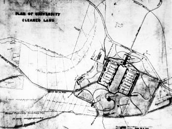
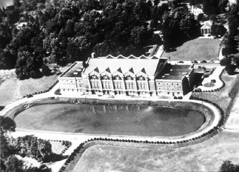
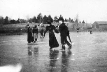
A collection of historical and contemporary photographs, drawings, and unexecuted plans offer a Visual Essay on the multiple roles that water has played from Thomas Jefferson's land purchase to the present. The Essay is organized the was water organizes itself and the way that we as inhabitants of this campus have interacted with it:
we convey it
we change its surfaces
we gather it