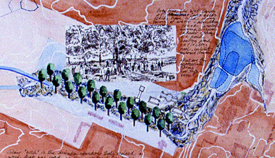
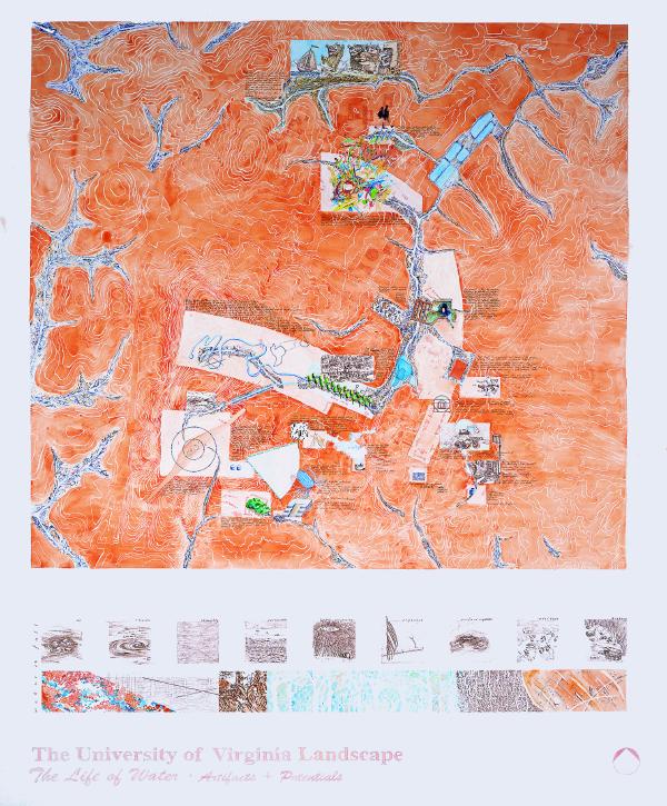
Artifacts and Potentials
This notational mapping gathers the many ways that the university has capitalized on its water. The mapping explores how, as designers, we can synthesize historical events and contemporary conditions and show them to ourselves and others in ways that reveal design direction and tap the rich opportunities that await our action.