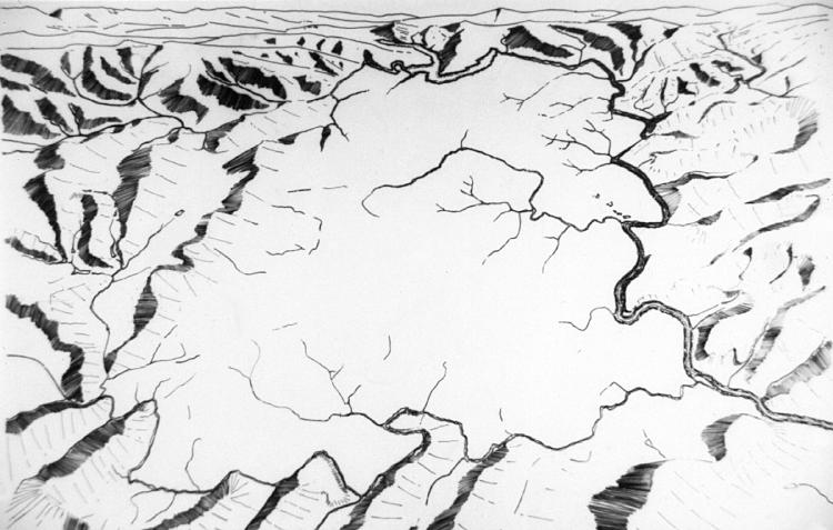
Drawn Mappings •
Civic Hydrology of
Charlottesville
Map important rivers,creeks, streams and significant swales. Municipalities and homeowner groups can accomplish this through the establishments of conservation easements, use regulations, and purchase for common/public land ownership.