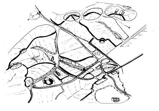
Drawn Mappings
•
University
of Virginia Watersheds
This mapping depicts water as it behaves--as a series of warped bowls that channel water through the landscape. Such a mapping helps us better see not only the structure of water but also its function.