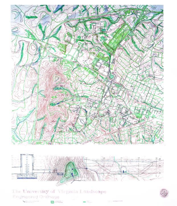
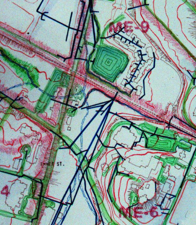
Watercolor Maps • Engineered Drainage c.1998
From the construction of its first pavilion in 1818 to the present day, the underground conduits have been extended, layered, and networked into a highly calibrated system that regulates the University's water. It has evolved into a giant machine that controls the water's pulse, its course, and its volumes, an unseen superstructure that determines the vertical and horizontal movement of water.