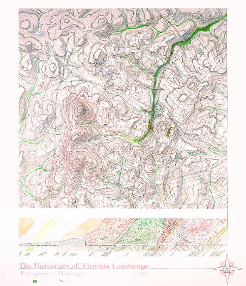
Watercolor Drawings • Topographic
Drainage c. 1817
These
mappings of the University of Virginia's Wet Lands map not water but the
more important ecological processes of wetness--wetness as a complex condition.
This mapping tries to capture the range of conditions of Wet Lands as
well as some of the biophysical processes associated with their making.