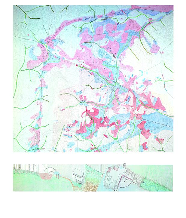
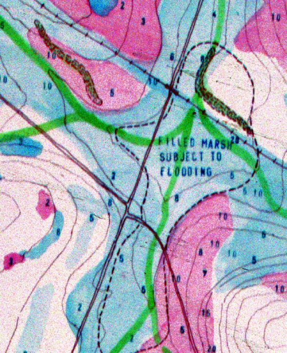
Watercolor Drawings • Topology : Exchanging
Surfaces
The
University has been exchanging wet and dry and in between surfaces since
it first broke ground. This mapping describes the differences between
1817 surfaces and today's surfaces. The mapping is an synthesis of two
models: the classic "cut and fill" diagram and the bathometric
chart. Surfaces well below the seen surface intermingle with the ground
plane to form a more fluid understanding of surfaces and between past
history and present history.