|
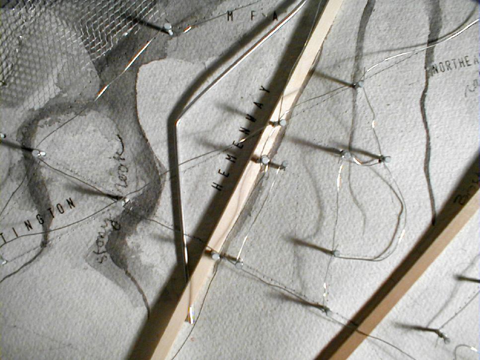
By layering historic features including dams, rivers, canals, and streets,
the mapping reveals the transformation of water and wet land into the
modern urban grid. What lies underneath the current streets is rendered
visible. In this model, the channeling and structuring of water emerges
as a theme: city streets and roads have become the new waterways, catching
and moving water that would formerly have run through the salt hay marshes
and brooks.

|
 |