|
|
||||||||||||||||||||||||||||||||||||||||||||||||||||||||||||||||
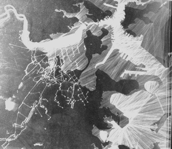
| Ah-Yeon Kim • Mapping | When we think about the changes made to expand Boston, the one way to look at is the amount of land increased. The other way would be the amount of reduction of water, which is the focus on my mapping. My first map shows how dramatically the water surface has been reduced over time. Before the Boston expanded the city by landfill, water was a visible and tangible flowing system embracing the city. I called this stage "city in the water". Today, in our everyday lives, water seems to lose its presence as a flow, and remained as elements rather connected by invisible pipes. I named it as "water in the city". Today, the flow and continuity of water exist in a very different way which is invisible and functional. Back Bay Fens which used to be the tidal estuary lost its symbolic meaning of fluctuating park as infrastructure. The dialectic relationship between land and water that one is indispensable to define the other seems to be forgotten. My design is dealing with recovery of awareness of water flow in the city. Second map, "test tube map" is a conceptual diagram of soil analysis. The substrata of Back Bay is composed of rather social products such as cut of tri-mountains of Boston, sediment from dredging of the river, garbage, and rubbles from outside quarries. |
|
|
|
| continue | |
| Copyright ©Kathy Poole all rights reserved |