|
|
||||||||||||||||||||||||||||||||||||||||||||||||||||||||||||||||
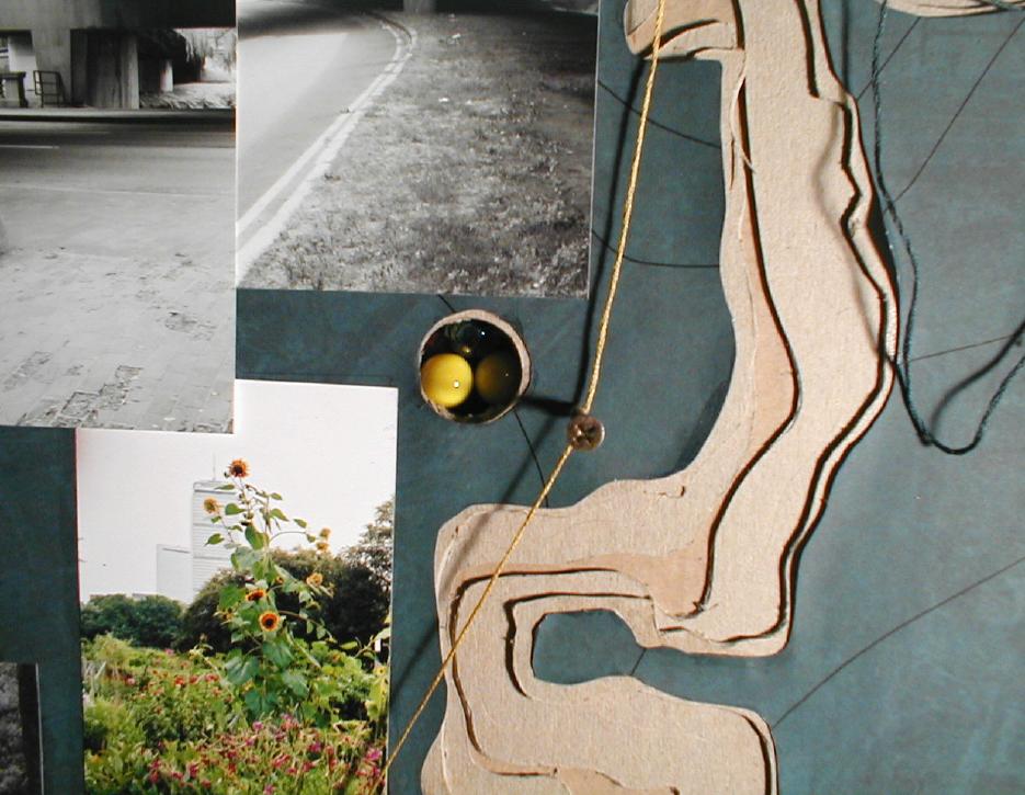
| Tracey Miller • Mapping | For this exercise we were asked to map a framework that would structure our projects. This mapping targets history and topography. Topography: Although Boston's primarily hilly character results from its glaciated topography, the area immediately surrounding the Back Bay Fens (with the exception of the banks to either side of the Muddy River) typifies a flat landscape due to it's man-made history as a landscape of fill. The mapping illustrates the Back Bay area in green with very little grade change juxtaposed with its surrounding elevated landscape in white. The adjacent map outlines Boston's glacial scars, it's kettles, kames, and drumlins. History: The mapping also views the the site's history as complex, interwoven, and varied. Heightened moments in the Back Bay's history were selected as opportunities to extract a diverse historical vocabulary both social and geological. These moments are illustrated as excavations and paths. Potential paths surrounding the site were chosen to reveal a context to the history of the site that could begin to inform the social implication of Olmsted's design. |
|
|
|
| continue | |
| Copyright ©Kathy Poole all rights reserved |