| |
One of the aspects
that distinguish this project is how it delivers information. Through
the maps you may search spatially—by querying elements in the
study area. These objects include buildings, roads, dams, railroads,
bridges, and various landscape areas like gardens and districts
of the city. As you move your cursor over the objects and areas
of interest, pop up text windows identify them. Clicking an object
prompts a search engine to retrieve the object's specific record,
which also offers entry to related searches.
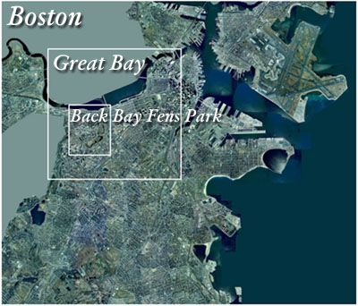
Click
the map to view
•
Boston: mainly an orientation map showing highlight objects and
giving context to the study area.
• Great Bay: project study area, offering the most information.
• Back Bay Fens Park: the park proper.
|
|
|