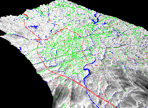
 Rendering of Charlottesville
using a Digitial Elevation Model (DEM) of the USGS maps
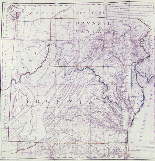 Early Virginia map c.
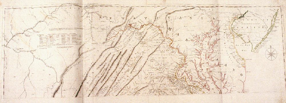 Early Virginia map c.
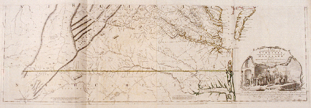 Early Virginia map c.
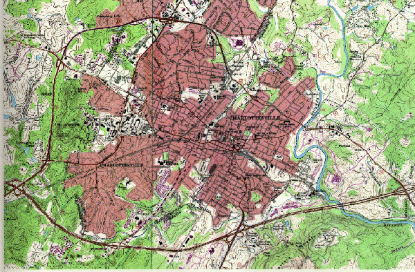 USGS Map of Charlottesville
 Rendering of Charlottesville
using a Digitial Elevation Model (DEM) of the USGS maps
 Charlottesville Archive
Bibliography | Make a suggestion |
 IATH WWW
Server