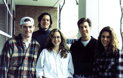
Karina Candamo, CUA
Rachel Evans, UVA
Tom Lauglin, UVA
James McGowan, CUA
Kennon Williams, UVA
We value dense development for two main reasons: because it encourages a sense of community and because it is more environmentally reponsible.
We want to value and express the systematic connections between Owings Mills and the outside world. The highway, the metro, and the parkway connect Owings Mills to Baltimore and to other towns in the area. The Red Run Stream and the Gwynn's Falls River are part of a riparian system which also connects Owings Mills to Baltimore and to the Chesapeake Bay.
To accomplish these goals, we have established our own guidelines for structuring Owings Mills:
Places of gathering (town squares, plazas, community centers, farmers markets, etc.) should be readily accessible from different areas of the town.
A diversity of transportation should be available and encouraged: Owings Mills should be a place where bikers and pedestrians should be accommodated. A system of public transportation should be developed. Car traffic should not imede these other modes of transportation.
Parking should be on the street as much as possible. Overflow parking should be accommodated in structured parking and in lots.
Roads should have a scale and route which suggest their relative importance, i.e. bigger roads lead to more publicspaces, smaller roads lead to more quiet and private places.
Buildings and landscapes should have a discernable hierarchy.
Buildings should be mostly in human scale.
The town should be an energy-efficient place: including solar power, natural lighting of buildings, improved hydrology.
The stream and its buffer zone should be left as park land, recognizing that it is both environmentally sound to prevent the stream's pollution, and also culturally important for the town to share a common park space.
A system of urban hydrology should be developed which not only serves to manage storn water, but which also organizes and structures the circulation and gathering of people. This urban hydrology mitigates the damaging effects of dense development on the stream, and it also acts as a measuring device for weather and climate changes throughout the course of the year.