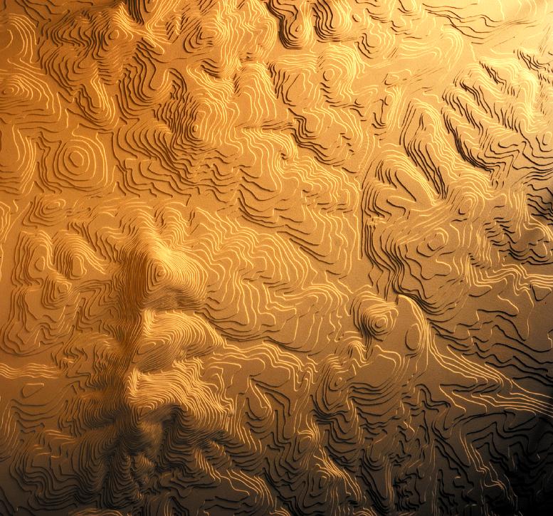
A series of topographic models and mixed media drawings (3' x 4' and 5' x 6') tell the visual essay, exploring how water can be mapped in ways that reveal its potentials for future construction efforts on the campus.
In each case, water presents itself as a valuable vehicle for making spaces and more--it can make places:
• clarifying and strengthening University residents relationships to the campus
• creating community
•engaging people intellectually, physically, and in all their aesthetic capacities.