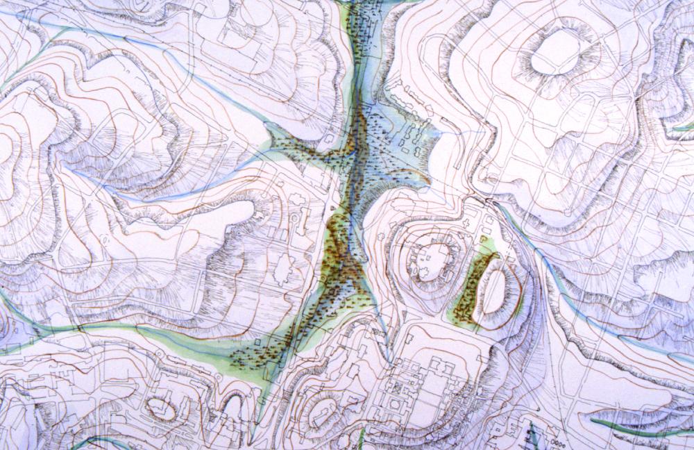
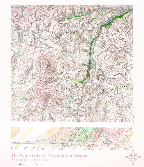
Topographic Drainage c. 1817
Thomas Jefferson's original land purchases in 1817 and 1820 for "Central College" contained portions of land that were not easily developed as building sites, including springs and a creek through a swampy plain. Attempts to map this fluid history demonstrate wetness as a flexible condition that spans a range between "wet" and "dry." We find that these Wet Lands have remarkable capacities to both sustain their histories and to absorb new histories, gathering, new relationships between uses, people, and the land that they occupy.