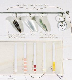
The water of the University of Virginia grounds is full of creative potentials. Through historical study and exploratory mapping, these investigations ask how water can become an infrastructure:
a framework for future development
and
a potential medium for fulfilling University residents' everyday experiences

