Drawn
Mappings
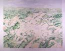
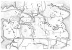
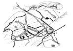
I began my mapping explorations conventionally, through drawn mappings--pencil and ink. Much of the time, these investigations were limiting, which is why so much of the mapping represented here is through other media.
Nonetheless, three Drawn Maps series were fruitful, particularly in communicating basic and important principles to the general public.


