|
|
||||||||||||||||||||||||||||||||||||||||||||||||||||||||||||||||
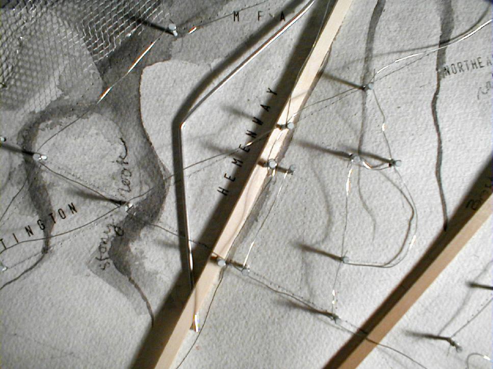
| Adriane Fowler • Mapping | By layering historic features including dams, rivers, canals, and streets, the mapping reveals the transformation of water and wet land into the modern urban grid. What lies underneath the current streets is rendered visible. In this model, the channeling and structuring of water emerges as a theme: city streets and roads have become the new waterways, catching and moving water that would formerly have run through the salt hay marshes and brooks. The Fens have always functioned as stormwater management, but today this connection is not apparent on the ground level. It also does not function as well as it once did due in part to the sweeping changes in the topology of the city, the reshaping of land and buildings, the creation of vast impermeable surfaces, and the (sometimes not very thoughtful) addition of fill and resculpting of the parkland itself. The Fens today can accommodate these contextual changes more productively, while continuing to function as stormwater management system and urban park. |
|
|
|
| continue | |
| Copyright ©Kathy Poole all rights reserved |