|
|
||||||||||||||||||||||||||||||||||||||||||||||||||||||||||||||||
| Hara Wilkiemeyer • Mapping | 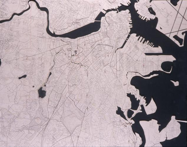 |
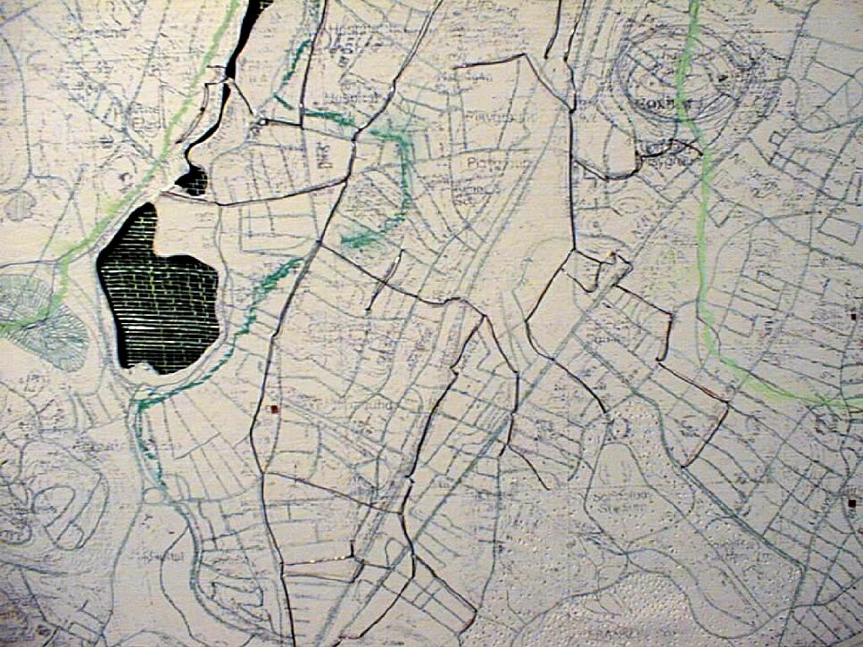
| This
map reveals interactions of water and land in the greater Boston area. My
desire was to map water flows and their relations to constructed land in
order to discover points of intersection. Current land boundaries are cut
from pre-development shorelines. Streets, fire stations, sewer lines, tributaries,
watersheds, and parks are depicted in terms of their relation to vertical
and horizontal movement of water.
|
|
| continue | |
| Copyright ©Kathy Poole all rights reserved |