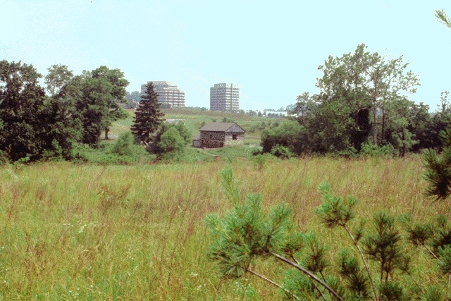
The problems encountered in the developing urban fringe demand the consideration of a broad range of issues such as environmental and site limitations, design and engineering of stormwater systems, transportation planning, market demand for various land uses, and the spatial nature of a social community. These factors all need to be considered in a multi-disciplinary manner, at the same time that formal strategies of design are initiated. In particular, addressing the pressing environmental issues faced on this site and bringing them into a more harmonious relationship with city life mandates a new collaborative mode of thinking and acting.
The development of design proposals for Owings Mills was divided into two phases:
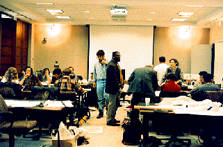
Working session at the Owings Mills charrette
This group included a diverse group of participants who could address both the specifics of the site and the broader implications within their own field of expertise. Public involvement of local landowners, business, and public officials was important to the success of the design charrette by providing the design teams with concrete background on the nature of the site and the development process. Two groups of architecture and landscape architecture students from the University of Virginia and the Catholic University of America participated in the charrette and the further development of the design proposals as part of their design studio course work. The students were organized into 6 collaborative teams each of which was made up of half architecture students from Catholic and half landscape architecture students from UVA.

Neal Payton referring to the WWW database at the design charrette
After the initial design charrette the design options proposed by the student groups were developed over a period of eight weeks. The primary focus of the project was the development of conceptual design proposals that graphically depict the physical implications of planning and landuse decisions, and serve as tools for visualizing the future possibilities for the city of Owings Mills.
During the eight weeks following the on-site charrette the members of the design teams would reconvene for weekly "digital collaborations" to evaluate and further develop the project through sharing of digital images and teleconferencing over the information networks. Because the majority of the students were not literate with HTML an automated script was written by Thornton Staples of IATH. This script allowed the students to simply place image files into a team directory and then "build" the page; a temporary HTML document would then automatically be written. Once this "Build Page" was constructed the students could easily fill in captions and descriptions to complete the document. The World Wide Web was therefore used to construct a series of weekly "postings" by each team; members of each team had access to the same weekly pages so that they work at each site could be viewed within the same document.
In addition to the use of the World Wide Web and more common forms of network communication such as e-mail the teams also had access to the IATH MOO for text-environment conferencing. Interim and final presentations of the design proposals were held jointly, the former at UVA and the latter at CUA. All of the parties who attended the original design charrette at Owings Mills were invited to the final presentations at Catholic University to see the completed design proposals and participate in a discussion of the results.
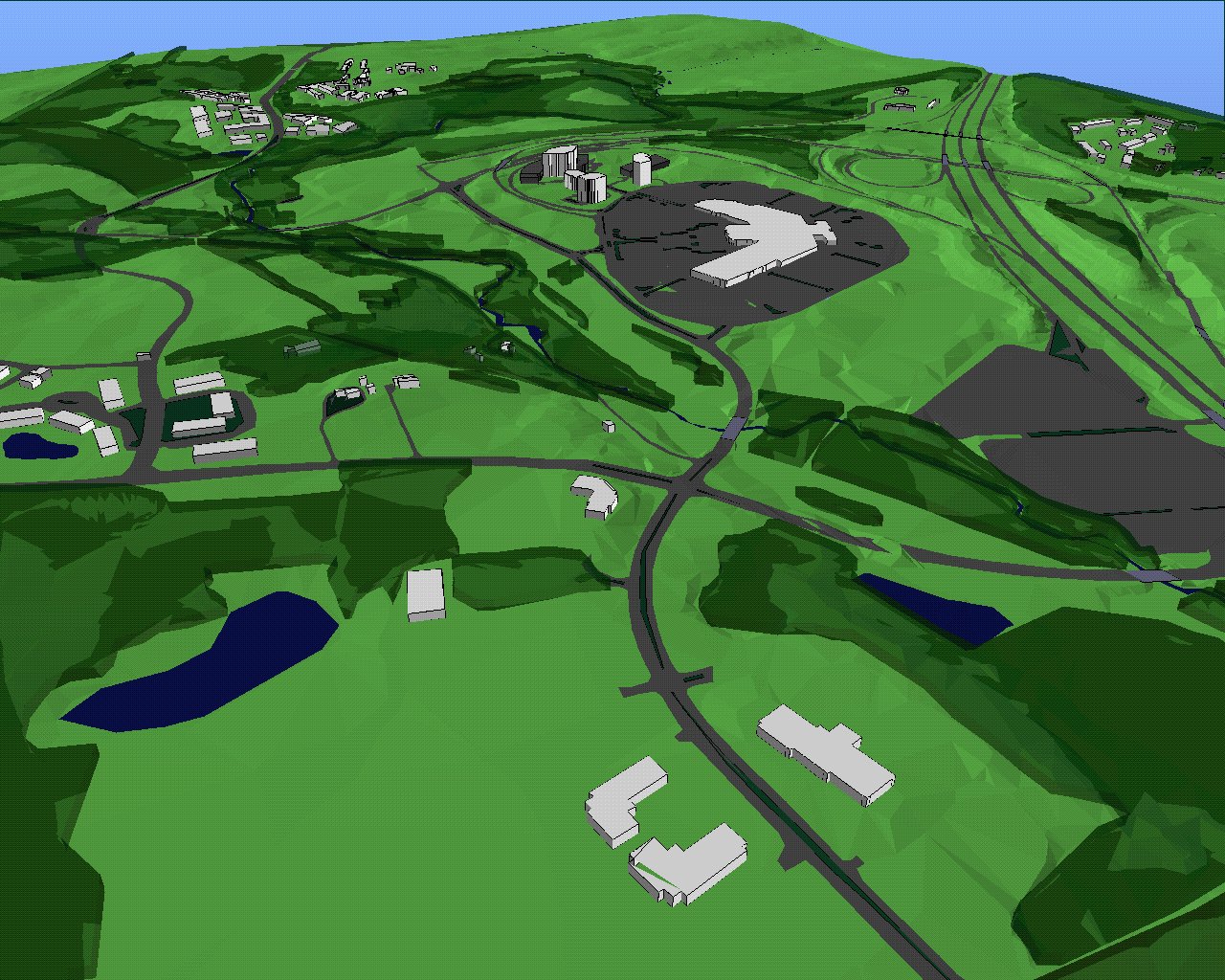
Site model - modeled and rendered in Polytrim
One of the lessons learned in conducting this project is the problematic nature of developing a computer model for a non-digitally documented site. In fact, the whole process of developing the 3-D site model was illustrative of one of the key frustrations in trying to conduct coherent urban design a suburban context like this. It is the perennial problem of hitting the moving target, but in the case of the growth of edge cities it is compounded by the tremendous rate of infrastuctural change and growth and the lack of adequate resources to document, study and direct that change.
Because of the lack of any comprehensive set of contemporary base maps we were obliged to piece together (hand digitize) the site model from at least ten different sources including aerial photos, construction documents for the mall and topographic surveys from the 1950's. Ironically, Baltimore County has just commissioned a comprehensive digital survey of the entire county which should be available shortly.
Time and funding constraints will not permit us to conduct the kind of modeling and assessment of the proposals that had been hoped; that will have to wait for a future phase of the project.
 IATH WWW Server |  Introduction |
 Send Comments |
 Image Map