|
|
||||||||||||||||||||||||||||||||||||||||||||||||||||||||||||||||
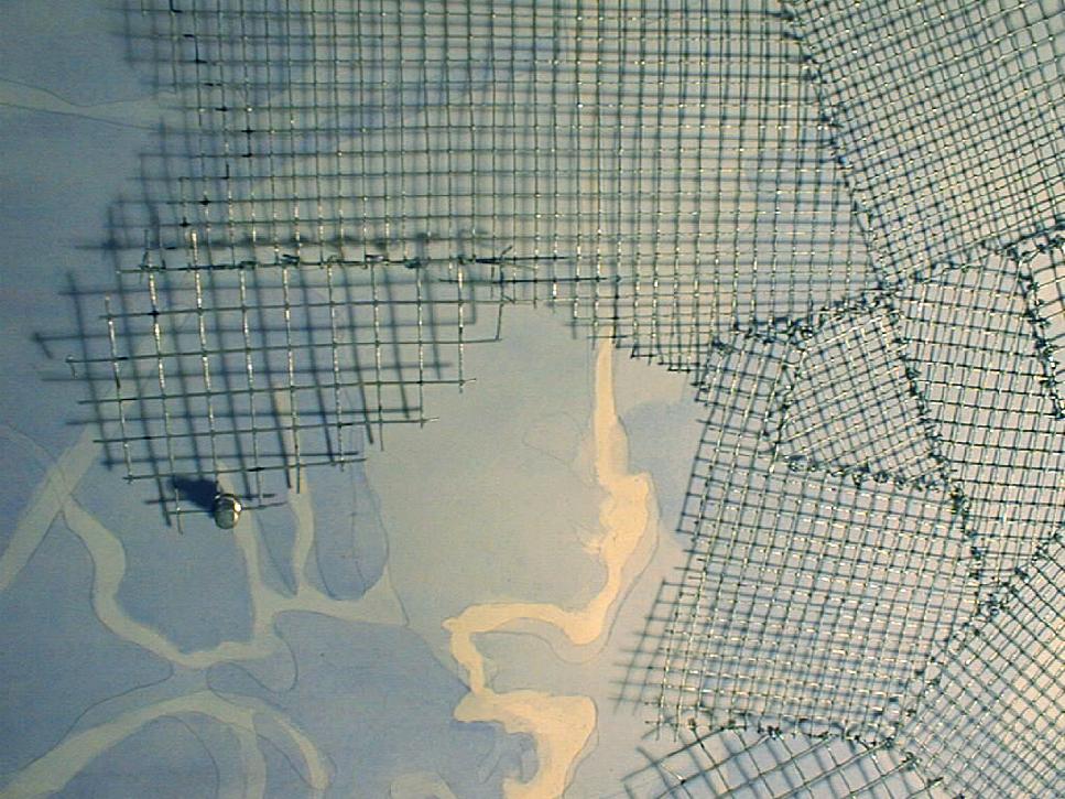
Ah-Yeon
Kim mapped the changing relationship of water and land through time.
Ann O'Hara Wilkiemeyer mapped "water
flows and their relations to constructed land in order to discover points
of intersection." Leigh Fitts's map
shows an acurate depiction of the changes of the outline of the land and
water of the Back Bay Fens since 1795 while simultaneously revealing its
potential poetics.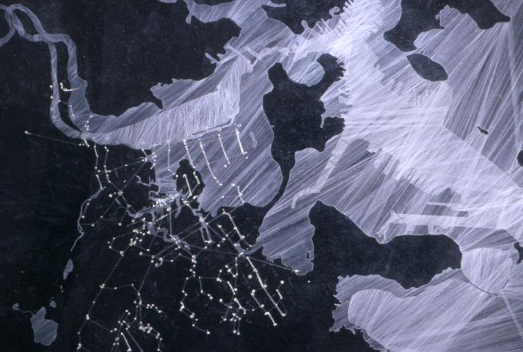

|
| continue |
| Copyright ©Kathy Poole all rights reserved |